|
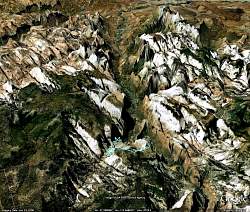
Google Earth view of Zion Canyon, looking up the canyon from the south. The Observation Point Trail is shown in light blue in the distance.
|
|
 |
Looking up the Canyon at Observation Point. The trail is shown by the light blue line. Angel's Landing is at the lower left of the image.
|
|
 |
View of the Observation Point Trail, looking back down the canyon towards Springdale in the south.
|
|
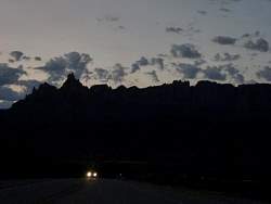 |
Driving to Zion from Hurricane in the morning
|
|
 |
Nearly sunrise!
|
|
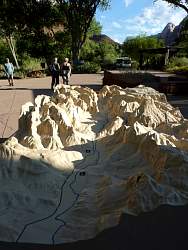 |
A model of Zion Canyon at the Visitor Center
|
|
 |
The shuttle busses that will take us to our trailhead
|
|
 |
Boarding the bus
|
|
 |
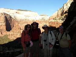
3 of the 6 hikers. Two were lost before we got to the Visitor Center, and 1 was manning the photo gear.
|
|
 |
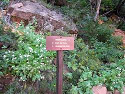
Map of the trail at the trailhead
|
|
 |
The trailhead to Observation Point
|
|
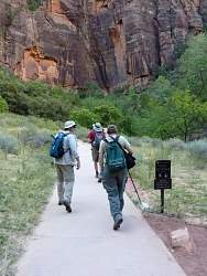 |
Off we go!
|
|
 |
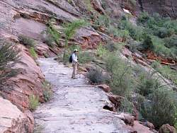
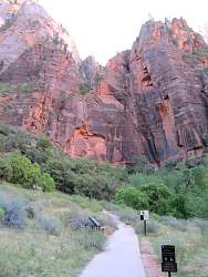
View of the main canyon from a short way up the trail
|
|
|
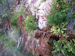
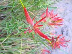
 |
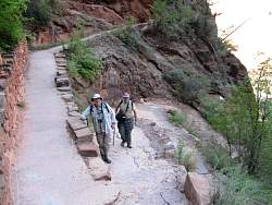
The trail behind us
|
|
|
|
|
|
|
|
|
|
|
|
 |
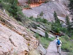
One of many carved cliffs we can see
|
|
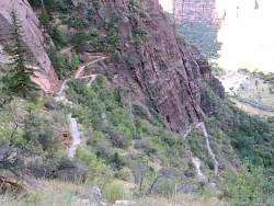 |
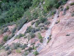
The Hidden Canyon Trail forks off towards the top left
|
|
|
|
 |
Our little flash can't compensate for the bright Utah sun in the canyon behind us!
|
|
|