 |
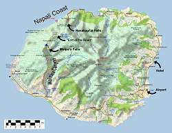
I thought it would be helpful to provide a map of Kauai that shows the main features of our trip.
|
|
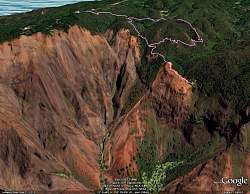 |
Google Earth view, looking west, of our hike to the top of Waipo'o Falls at the north end of Waimea Canyon. We started at the top-left. The falls are at the end of the line center-right.
|
|
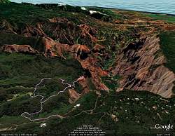 |
Google Earth view, looking south-east, of our hike to the top of Waipo'o Falls at the north end of Waimea Canyon. With this view you can see down the canyon to the ocean.
|
|
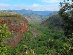 |
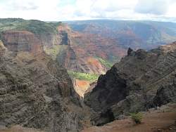
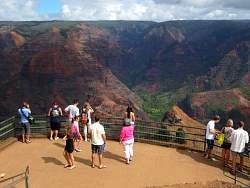
Our first glimpse of Waimea Canyon, from a roadside viewpoint.
|
|
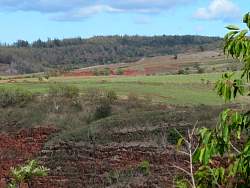 |
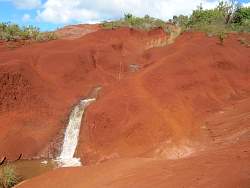
Some of the dirt in the canyon is bright red!
|
|
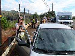 |
We're not the only ones at this roadside viewpoint (or any other one, for that matter)
|
|
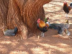 |
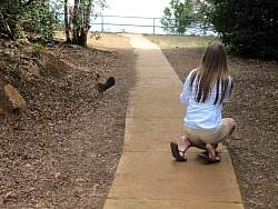
On the way, we saw lots of wild chickens at one of our stops
|
|
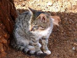 |
There was also a ferral kitten here. The chickens and cats seem to ignore each other
|
|
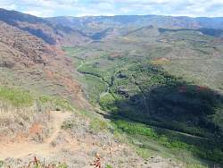 |
Another view into Waimea Canyon as we climb higher along the road up the west rim
|
|
 |
Part of an irrigation ditch next to the road
|
|
|
|
|
|
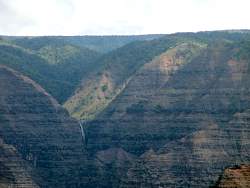 |
If you look closely at the previous photo, you may be able to spot this waterfall in the far, far distance
|
|
 |
A canyon overlook
|
|
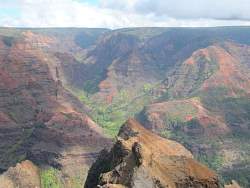 |
Unfortunately the clouds obscure most of the bright colors, but it's almost always cloudy here. They get a lot of rain in the mountains
|
|
|
|
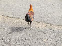 |
Some of the chickens are quite pretty, as this one is, despite the poor view he exibits of himself
|
|
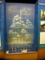 |
Showing the amount of rainfall at various locations on a map at the visitors center
|
|
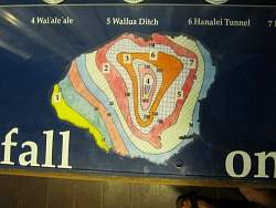 |
Annual rainfall map, in inches
|
|
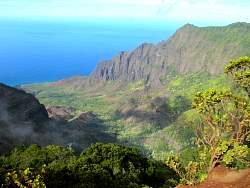 |
From the "Top of the Road" (see map at the start of this gallery), we can see down to the Napali Coast
|
|
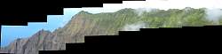 |
The ridgeline was so spectacular I had to try to get a high-resolution panorama picture!
|
|
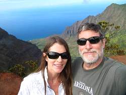 |
Tourists at the end of the road, with the Napali Coast in the background
|
|
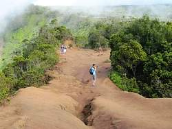 |
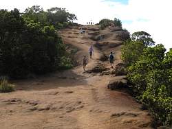
The road ends at a knife-edge ridge that has been worn down a bit. There are views down to the Napali Coast to the left and towards the Alaka'i Swamp to the right, when not obscured by clouds
|
|
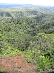 |
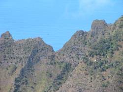
Looking towards the Alaka'i Swamp
|
|
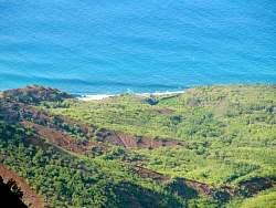 |
A zoomed-in view of the Napali Coast
|
|
 |
Those pests are always buzzing around!
|
|
 |
There's another one of those pests on the other side of the ridge
|
|
|