|
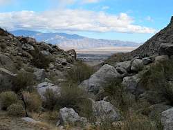
Google Earth view of the Hellhole Canyon hike, looking east. The track stops just a bit above where we think Maidenhair Falls was supposed to be. The dark splotches in the canyon towards the bottom of the image are palm trees
|
|
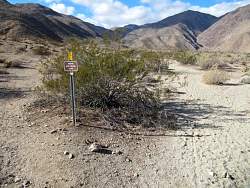 |
To the left is the "Riding and Hiking Trail." We go to the right.
|
|
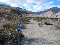 |
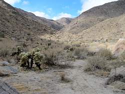
It's a little sandy here on an alluvial fan
|
|
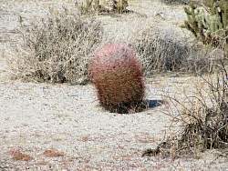 |
Barrel cactus. We only saw two or three of these
|
|
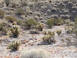 |
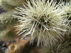
They look furry when the sun is shining on them from behind
|
|
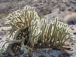 |
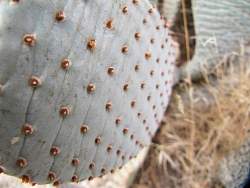
Not so furry up close! We saw lots of these.
|
|
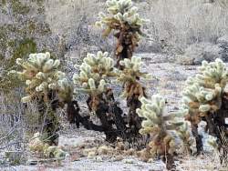 |
And we saw lots of these nasty plants
|
|
 |
These were pretty common, too
|
|
 |
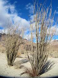
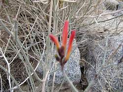
This ocotillo cactus is starting to grow leaves after the rains from the last couple of days
|
|
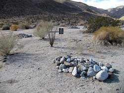 |
Ths sign says "The didn't bring enough water"
|
|
|
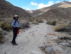 |
The trail up to the canyon
|
|
 |
Blossoms on an otherwise dead-looking plant. Unfortuately my camera focused on the plant instead of the flowers
|
|
 |
Looking back down the trail
|
|
 |
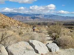
Looking up ahead
|
|
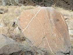 |
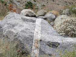
X marks the spot!
|
|
|
 |
This cactus reminds me of a tropical fish
|
|
|
|
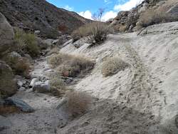 |
The trail climbs out of the wash
|
|
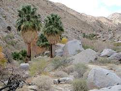 |
Our first view of palm trees in the canyon
|
|
|
|
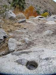 |
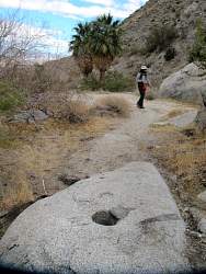
A grinding hole in the middle of the trail
|
|
|
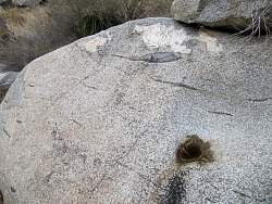 |
Another grinding hole a few dozen feet further on
|
|
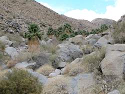 |
Many more palm trees up ahead
|
|
|