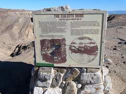
 |
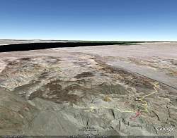
Google Earth view of our route, looking south-east. We started on Hwy S22. The red line is the slot canyon and wash we followed for a bit on the way back. The black area in the distance is the Salton Sea.
|
|
|
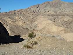 |
The road starts in the shadow (lower left) and heads up those hills somewhere on the other side of the wash below us
|
|
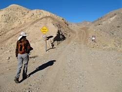 |
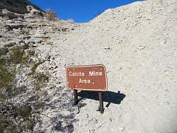
There's a road to the mine area, but if you want to drive it, pay attention to this sign!
|
|
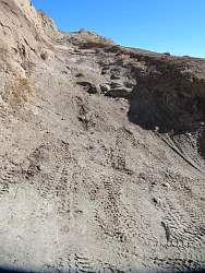 |
Mostly the road is pretty good, but there are some spots that are worse than this
|
|
 |
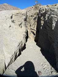
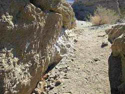
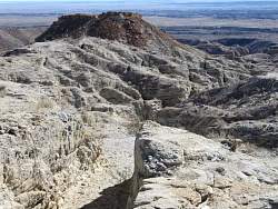
The road crosses this wash. On the way back, we followed it up to a slot canyon, and down a couple of hundred yards.
|
|
 |
Looking back down the road
|
|
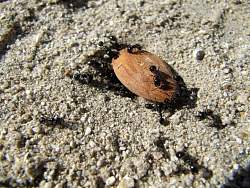 |
Some ants found this almond that someone lost
|
|
|
 |
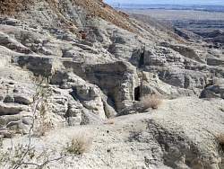
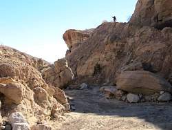
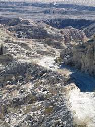
The mine consists of a number of slots cut into the rocks
|
|
|
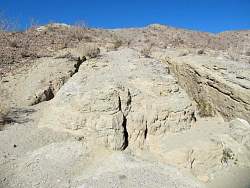 |
There are two slots in this photo
|
|
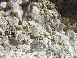 |
Close-up of some leftover calcite. These crystals are about 1/4" across.
|
|
 |
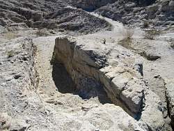
The calcite crystals from the previous photo were in the white patch on the left side of this slot
|
|
 |
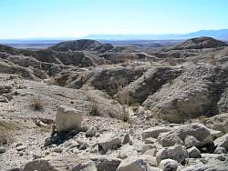
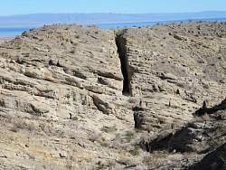
The biggest slot in the rocks is a few hundred yards to the east. The blue area in the distance is the Salton Sea
|
|
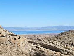 |
A closer look at the Salton Sea
|
|
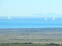 |
Some buildings on the far side of the sea are making a lot of steam
|
|
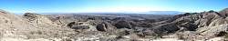 |
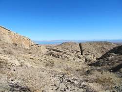
Panoramic view from the mine site, looking south
|
|
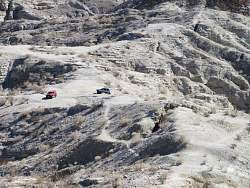 |
Some jeeps arrive at the mine
|
|
 |
The people near the base of the slot give an idea of its size
|
|
 |
There are a number of smaller slots cut south of the main area
|
|
 |
Looking down the road with a telephoto shot, you can see where we're parked next to the highway (top center)
|
|
|
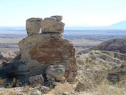 |
These may be balancing rocks in another million years or so
|
|