|
Google Earth view of our route, looking south. We started at the far end.
|
|
 |
Crossing Oak Creek to get to the West Fork Canyon
|
|
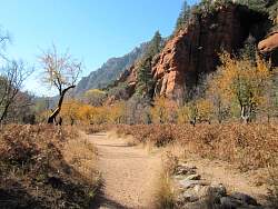 |
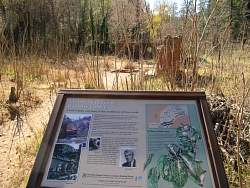
This used to be an apple orchard
|
|
|
|
 |
One of the old buildings
|
|
|
 |
Another old building - a smoke house?
|
|
 |
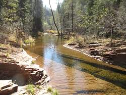
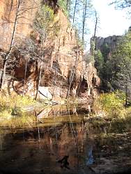
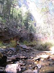
Entering the West Fork Canyon. Parts of it were quite dark because of the narrowness of the canyon and the trees that grow along the floor and parts of the canyon walls.
|
|
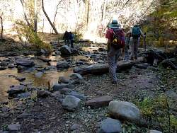 |
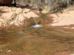
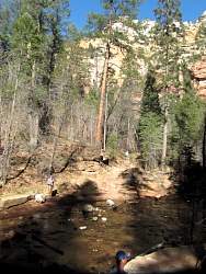
There were lots of stream crossings!
|
|
 |
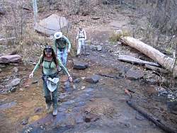
Another stream crossing
|
|
 |
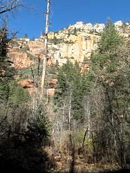
The canyon walls are about 130' high, or 13 stories
|
|
|
 |
The creek really undercuts the cliff here!
|
|
 |
This plant hangs on from a little crack
|
|
|
|
|
|
|
|
|
|
|
|
|
|
 |
This is one reason why dogs should be kept on leashes at all times!
|
|