 |
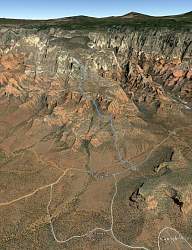
Google Earth view of our hike, looking north. We didn't quite get to the top.
|
|
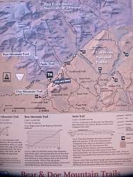 |
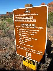
Map at the trailhead. Note the elevation profile of the trail at the bottom. 2000' of climbing in 2.5 miles!
|
|
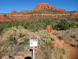 |
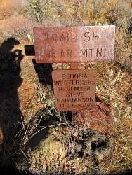
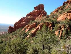
At the trailhead. The mountain doesn't look so high. Little did we realize...
|
|
|
|
|
|
 |
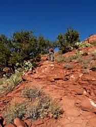
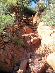
The trail is mostly natural steps, or nearly natural steps
|
|
|
 |
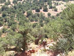
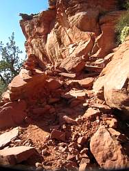
When we got up a little ways, we could see these strange ruts. They're about 10' or so deep and 20' wide. My guess is that they're old paths that have eroded down.
|
|
|
|
 |
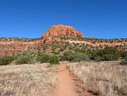
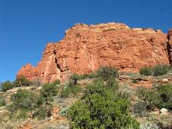
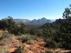
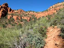
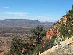
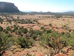
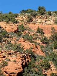
As we climb, we see more and more of the rock formations south of us
|
|
 |
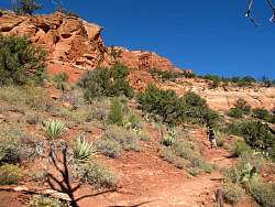
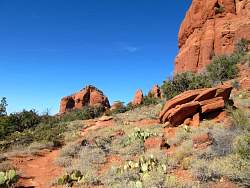
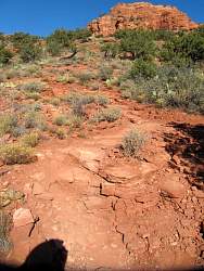
The trail turns to the right here. Can you see it?
|
|
|
|
|
|
|
|
|
|
|
|
|
 |
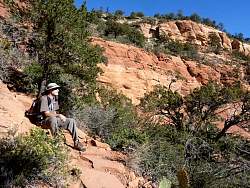
You can't see the trail in most places unless you're looking at it straight in front of you
|
|
|
|
|
|
 |
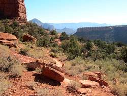
The trail goes straight forward here
|
|
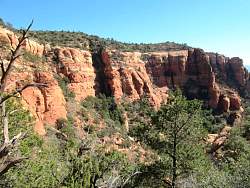 |
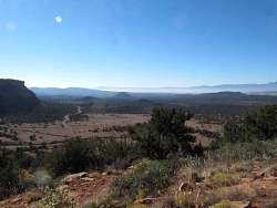
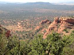
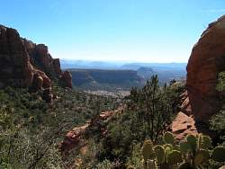
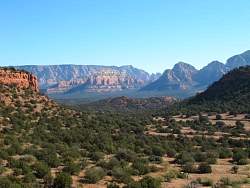
We're almost to the top of what we could see from the trailhead
|
|
|