|
|
 |
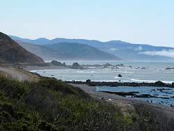
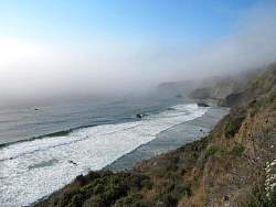
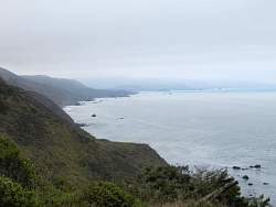
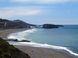
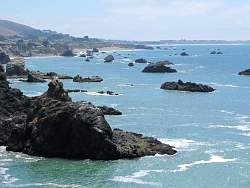
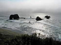
That's Cape Mendocino in the distance to the north
|
|
|
|
|
 |
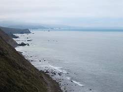
I stopped at Shelter Cove for lunch. This was the highlight of the visit.
|
|
|
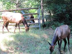 |
Herd animals of some sort at the side of the road. They had found a way out of their pasture.
|
|
 |
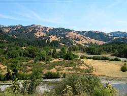
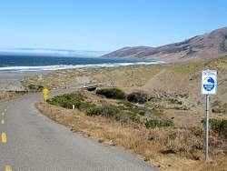
Back on SR 1 (Shoreline Hwy) after being forced to drive the inland 101 due to a roadless or road-poor region in northern Mendocino County along the coast.
|
|
|
|
|
|
|
 |
The approach to the Point Arena lighthouse
|
|
|
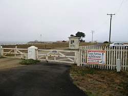 |
Unfortunately it was a little early in the day to visit the lighthouse.
|
|
|
|
|
 |
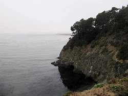
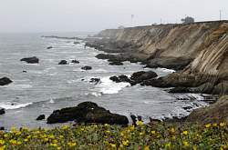
The marine layer burned off about noon.
|
|
|
|
|
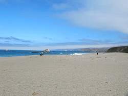 |
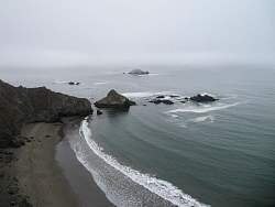
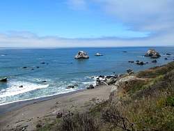
Wrights Beach in Sonoma Coast State Park
|
|
|
|
|
|
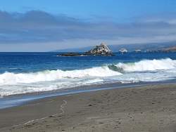 |
Wrights Beach in Sonoma Coast State Park
|
|
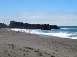 |
Wrights Beach in Sonoma Coast State Park
|
|
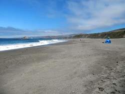 |
Wrights Beach in Sonoma Coast State Park
|
|
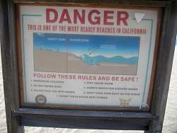 |
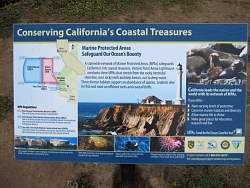
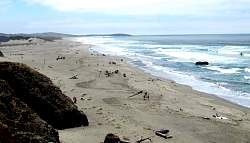
Wrights Beach in Sonoma Coast State Park. I wonder how many beaches have this same sign.
|
|
|
 |
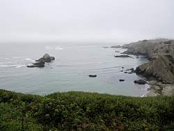
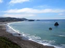
A little north of Bodega Bay.
|
|