|
|
 |
These belonged to a big animal, possibly a cow.
|
|
|
 |
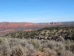
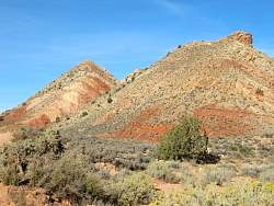
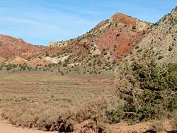
As I descend back into the valley, I can see colorful hills at the bottom of the red cliffs
|
|
 |
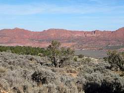
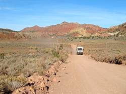
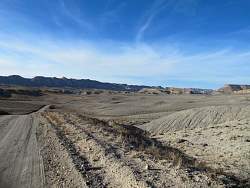
Looking south down House Rock Valley
|
|
 |
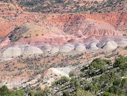
Getting closer to those colorful hills
|
|
|
|
|
|
|
|
 |
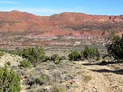
From back on House Rock Road
|
|
|
 |
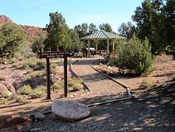
So what's up the road to Arizona Trail?
|
|
 |
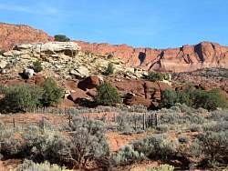
A lovely camping area!
|
|
|
|
|
|
 |
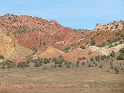
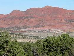
Further north on House Rock Road, more colorful hills
|
|
 |
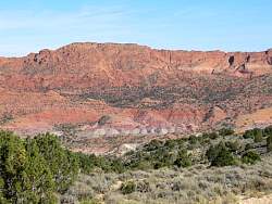
Looking north up House Rock Valley towards Hwy 89
|
|
|
|
 |
Hwy 89 passes through the hill at the center-right.
|
|
|
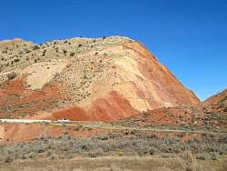 |
Drivers on Hwy 89 get a great view of the interior of this hill!
|
|
 |
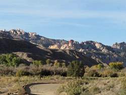
Just north of Hwy 89, more spectacular formations
|
|
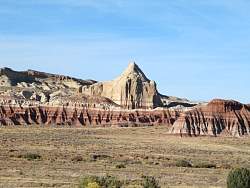 |
Another view, from a little further west
|
|
 |
The road that leads north-west to Cottonwood Canyon from Hwy 89.
|
|
 |
One single red rock formation can be seen on the west side of Cottonwood Canyon.
|
|
 |
The formations that form the west side of Cottonwood Canyon look very much like the Waterpocket Fold in Capital Reef National Park, but it's a different structure.
|
|
|