|
Satellite view of the "head" of Maui. The red bar along the top shows where these photos were taken. We started at Kapalua and drove clockwise. The road was closed north of Waihee so couldn't go all the way around.
|
|
|
|
|
|
|
 |
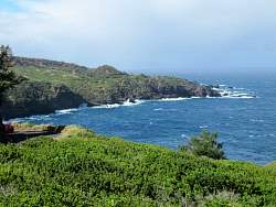
Our first glimpse of Kahakuloa Head which is visible from miles alway in both directions.
|
|
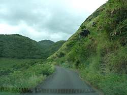 |
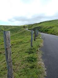
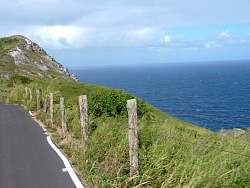
The road is only one lane ride in spots
|
|
|
|
|
|
|
|
|
|
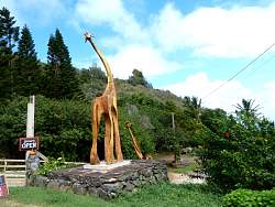 |
This sculpture was outside an art gallery that was miles from anywhere else
|
|
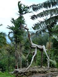 |
At the art gallery
|
|
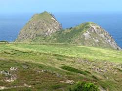 |
A closer view of Kahakuloa Head
|
|
|
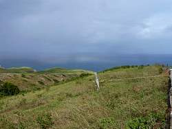 |
A rainbow forms in a rain squall over the ocean
|
|
 |
Kahakuloa Head with a squall behind it, but no rainbow this time
|
|
|
|