|
|
|
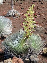 |
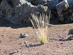
This one is in bloom, but past its prime
|
|
|
|
 |
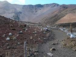
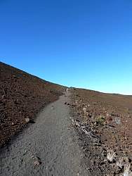
Looking back again, you can see how sandy the trail is
|
|
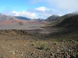 |
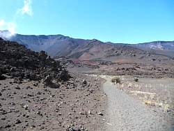
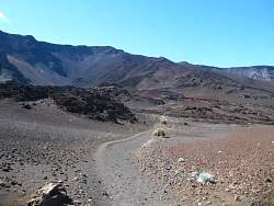
This is about where we turned around. We didn't want to have to climb several hundred more feet out of that valley ahead of us.
|
|
 |
The trail ahead splits off to the left as well as continuing straight ahead.
|
|
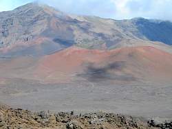 |
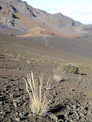
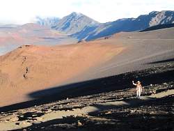
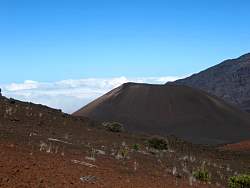
The left fork climbs that cinder cone and then splits again
|
|
|
 |
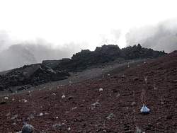
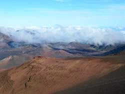
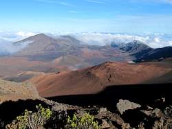
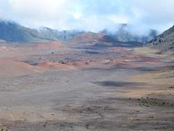
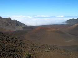
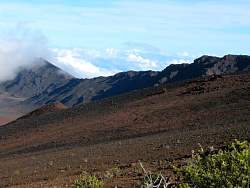
The weather in this part of the crater was constantly changing as clouds and rain blew over the rim from the southeast
|
|
 |
On the trail back
|
|
|
|
|
 |
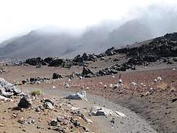
The clouds below remind us that we're between 8000 and 10000 feet above sea level. So does the thin, cool air.
|
|
|
 |
A good view of the Ko'olau Gap to the north
|
|
|
|
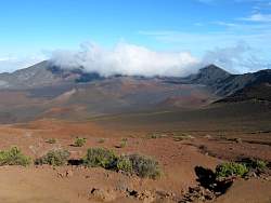 |
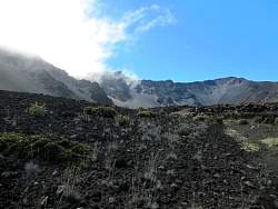
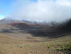
As we're about to reach the rim, the weather is still changing at the east end of the crater
|
|
 |
Another view of the cloud layer below us
|
|
|
|
|
|
|
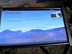 |
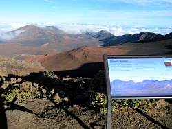
The sign says: "Missing Summit
"What may look like the summit crater is not a volcanic crater. On Haleakala Summit there was no massive blowout. The deep basin below is instead an erosional valley where wind, stream runoff, and landslides carried away loose cinders and soil during pauses in volcanic activity.
"High cliffs around the basin measure the enormous mass of material that has washed away through Ko'olau and Kaupo gaps.
"Deeper valleys once gouged the summit floor, but more recent eruptions -- visible lava flows and cinder cones -- partially refilled the basin. Today the summit climate of freezing and thawing loosens rock and accelerates erosion.
"Haleakala will erupt again: from this viewpoint, at least seven eruptions occured on the landscape in the past thousand years."
|
|
|
|