 |
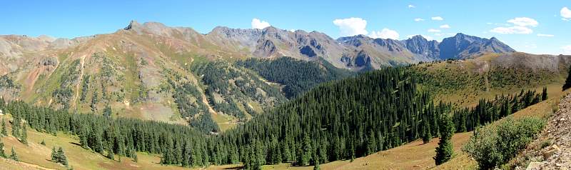
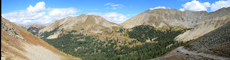
Looking south down the Cement Creek valley from the Corkscrew Pass road.
|
|
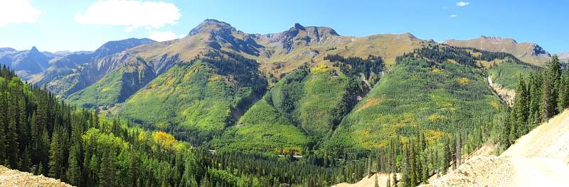 |
Looking west across the Million Dollar Highway (550) from the Corkscrew Pass road.
|
|
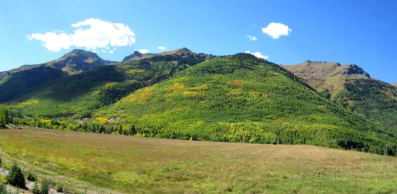 |
Looking west across the Million Dollar Highway (550) from the Corkscrew Pass road.
|
|
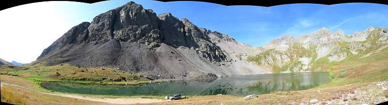 |
Clear Lake, at 11,960', west of Silverton.
|
|
 |
Looking north-east at Hancock Pass (12,250') from Tomichi Pass (11,930'), west of Nathrop, Colorado. The Hancock Pass lies on the continental divide.
|
|
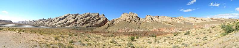 |
Looking west at the San Rafael Reef from a viewing area along I-70.
|
|
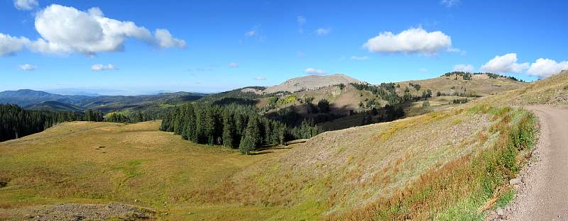 |
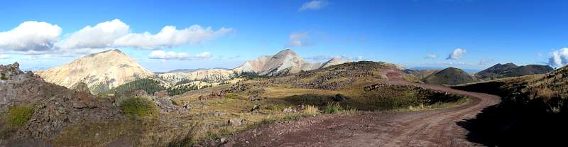
Looking south along the Big John Flat Road, between Beaver and Marysvale, Utah.
|
|
 |
Looking south along the Big John Flat Road, between Beaver and Marysvale, Utah. That's Mud Lake at the left edge.
|
|
 |
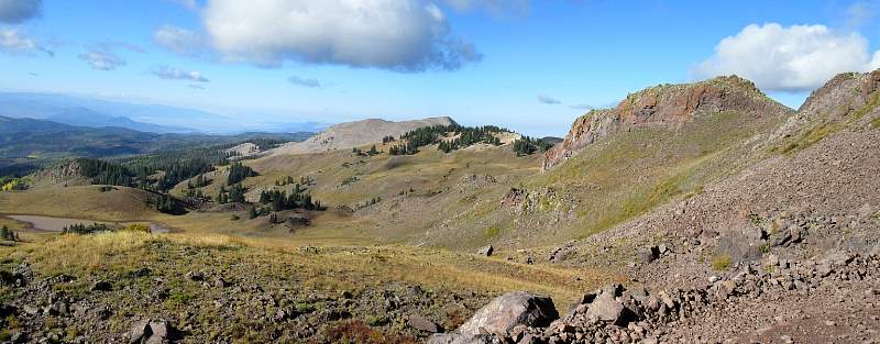
Looking north along Beaver Creek Road, between Beaver and Marysvale, Utah.
|
|
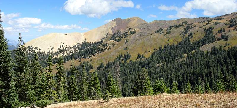 |
Along Beaver Creek Road, between Beaver and Marysvale, Utah.
|
|
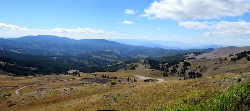 |
Looking south along the Big John Flat Road, between Beaver and Marysvale, Utah. That's Mud Lake in the middle.
|
|