 |
Looking north-west at the 50-Mile Bench from the Hole in the Rock
|
|
|
|
|
|
|
 |
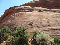
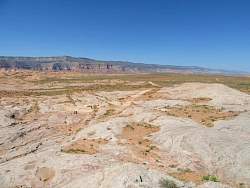
This is a few miles north/west of the Hole in the Rock, right next to the road.
|
|
|
|
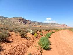 |
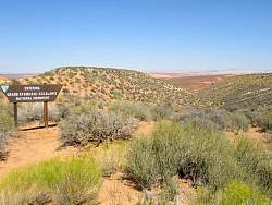
More typical Utah geography.
|
|
|
|
|
 |
Hole in the Rock Road stretches out ahead of me to the north
|
|
 |
This is the same view as the previous photo, but zoomed in so you can see the color of the rock cliffs in the distance.
|
|
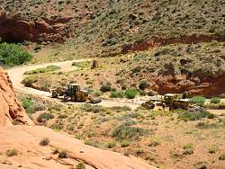 |
I came around a corner and was suprised (!) to see these. The road was in pretty good shape, but they were loosening and smoothing the sandy sections in the draws. I guess they're getting ready for the upcoming heavy visitor season.
|
|
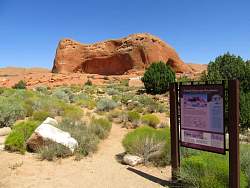 |
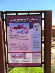
A better view of Dance Hall Rock.
|
|
|
 |
Instead of taking Hole in the Rock Road all the way back, I headed west up to Collet Top and Smokey Mtn Road.
|
|
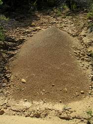 |
A giant ant hill on the road up to Collet Top.
|
|
 |
Along Smokey Mtn Road.
|
|
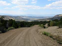 |
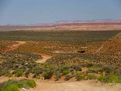
Heading into the Escalante valley near the north end of Smokey Mtn Road.
|
|
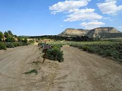 |
The sign says it's 24 miles to Collet Top to the left, and to the right is Death Ridge. Maybe I'll investigate the right fork on my next trip to Escalante.
|
|
|
|
|
 |
On a kiosk at the north end of Smokey Mtn Road.
|
|
|