|
|
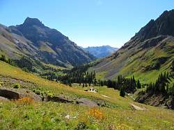 |
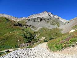
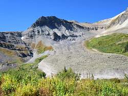
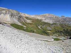
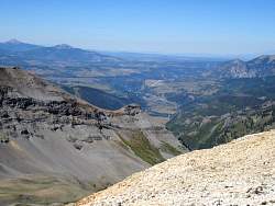
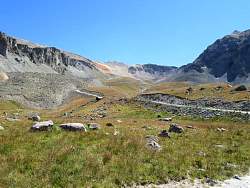
Looking back down at Yankee Boy Basin
|
|
|
|
|
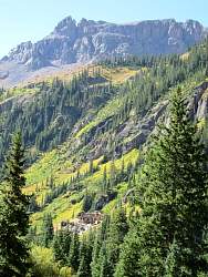 |
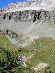
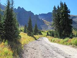
Heading back down to Lower Camp Bird
|
|
|
 |
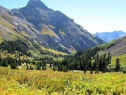
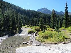
Looking at Lower Camp Bird from just above it. From here I was on Camp Bird Road towards Imogene Pass and Telluride on the other side.
|
|
|
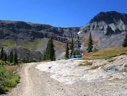 |
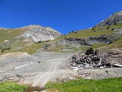
A stash of fuel beside the road in the blue containers
|
|
|
|
|
|
|
|
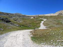 |
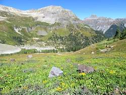
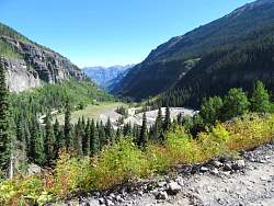
Getting closer to Imogene Pass
|
|
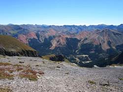 |
There's an overlook just before Imogene Pass where you can see the other side. There are a lot of red mountains there.
|
|
 |
From the overlook, this is Tomboy Road that leads to Telluride from Imogene Pass.
|
|
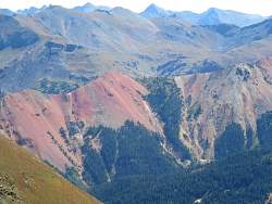 |
A closer look at some of the red mountains
|
|
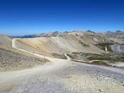 |
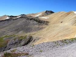
From the overlook, the road on the left leads to Imogene Pass. It's only a few hundred yards from here.
|
|
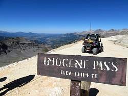 |
Imogene Pass, with Telluride barely visible in the distance. The most visible structure is the airstrip.
|
|
 |
Tomboy Road heads down from the pass on the south-west side.
|
|
 |
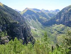
A look at Telluride, a little more zoomed in.
|
|
 |
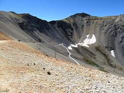
Looking back up at Imogene Pass from Tomboy Road
|
|
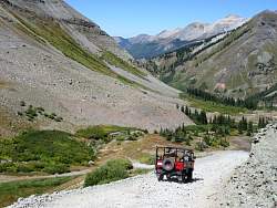 |
There are lots of other vehicles here of every type, but most were jeeps. This one is a commercial tour.
|
|
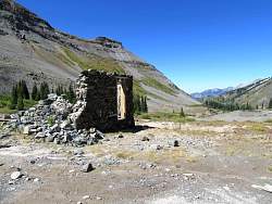 |
One of many old mine ruins
|
|
|
|
|
|
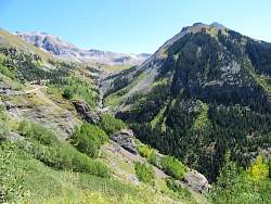 |
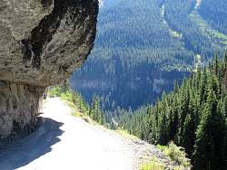
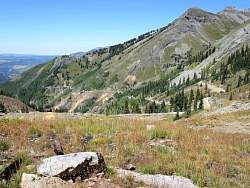
Looking back up the road
|
|
 |
My first look at Black Bear Pass Road
|
|
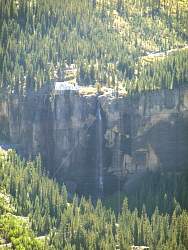 |
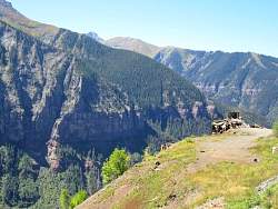
To the right of the switchbacks up the hill are the Bridal Veil Falls. I'll get a closer look at them later.
|
|