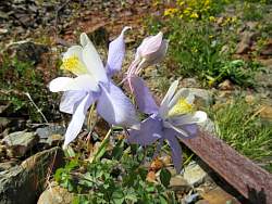
|
|
 |
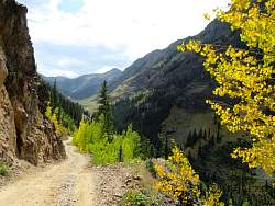
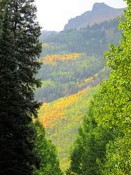
It looks like it might start raining, so I don't stop to take very many pictures on the way back to Stony Pass!
|
|
|
|
|
|
|
|
|
 |
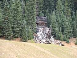
The overhead cables are part of an aerial tramway that was used to move ore down the mountain from the mine to the mill.
|
|
|
 |
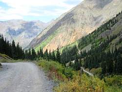
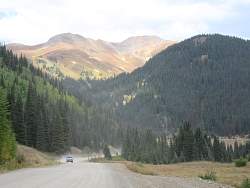
A car goes past when I stop to admire the view.
|
|
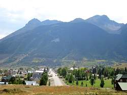 |
From the east of Silverton, looking down the main street. You can see Hwy 550 on the far side, cutting across the bottom of the mountain.
|
|
 |
To get back to Ouray, I took SR 110A, rather than Hwy 550.
|
|
|
|
|
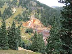 |
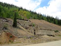
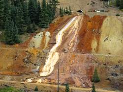
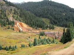
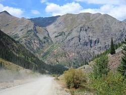
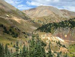
SR 110A turns into CR 10 that goes past the Gold King Mine, where millions of gallons of toxic water spilled into Cement Creek just a few weeks ago.
|
|
|
|
|
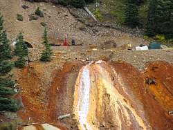 |
Water is still running down. Is it coming out of the mine?
|
|
 |
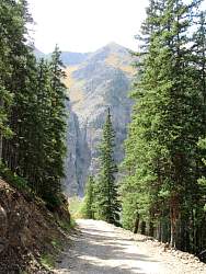
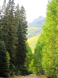
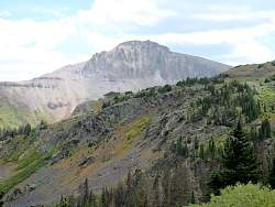
The upper road leads to Hurricane Pass. I'll be going the other way, to Corkscrew Pass.
|
|
|
|
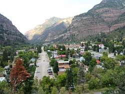 |
Looking north over Ouray from Hwy 550, also known as The Million Dollar Highway. I'm assuming they named it for the views, not the cost of building it!
|
|
|
|