Click on an image to see it full size.
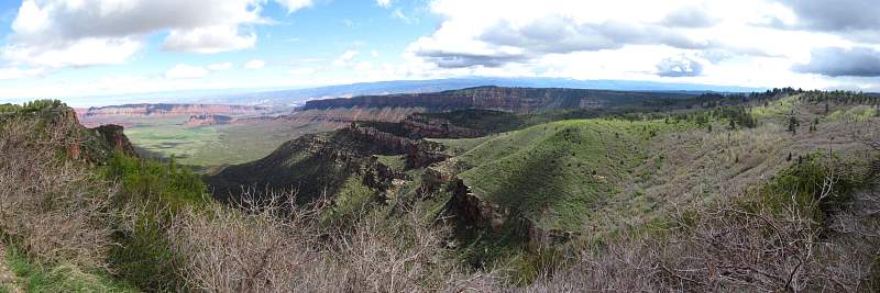 |
Castle Valley from the flanks of the La Sal Mountains
|
|
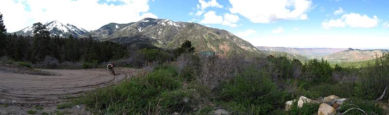 |
Here's a place to live: The La Sal Mtns out one window and Castle Valley out the other (see the house in the center?)
|
|
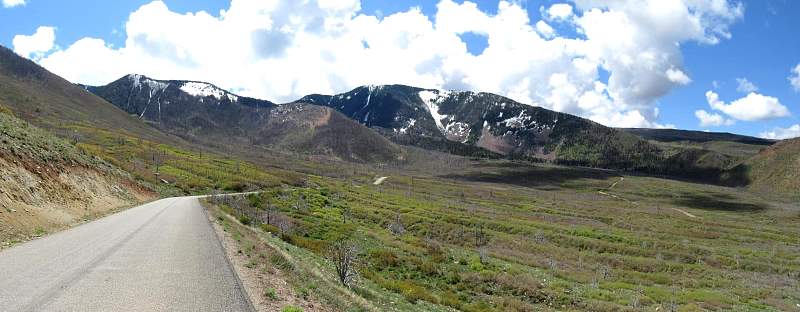 |
On the La Sal Loop Road. I was surprised to find it paved - anyone can drive up here!
|
|
 |
The La Sal Loop Road.
|
|
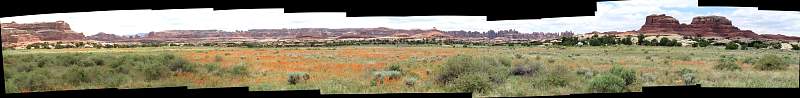 |
There are lots of flowers in this meadow!
|
|
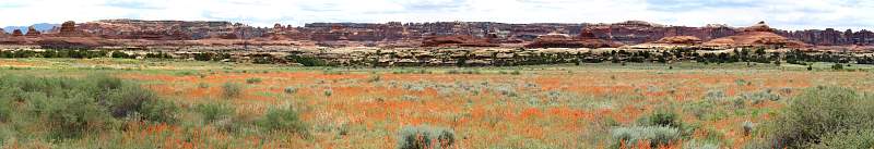 |
This is part of the previous panorama where there were the most flowers.
|
|
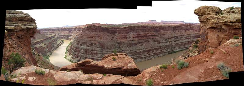 |
The Colorado River Overlook in the Needles district of Canyonlands National Park.
|
|
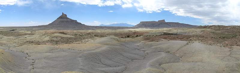 |
From north of Factory Butte, just east of Capitol Reef National Park. Factory Butte is to the left, the North Caineville Butte to the right and the Henry Mountains in the middle with a little snow on top.
|
|
 |
On Cathedral Road headed north towards Cathedral Valley.
|
|
 |
On Cathedral Road headed north towards Cathedral Valley.
|
|
 |
As the road climbs out of Cathedral Valley, we get a better overview of the monuments
|
|