 |
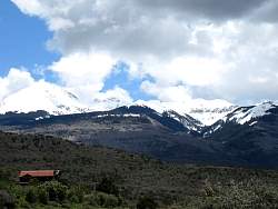
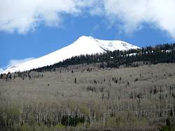
Another view of Castle Valley
|
|
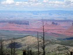 |
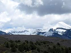
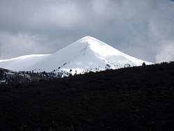
Zooming in on Castle Valley
|
|
|
|
|
|
|
|
|
|
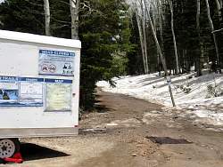 |
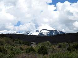
Looks like my route is blocked at Geyser Pass... the road is closed. Wonder when it opens?...
|
|
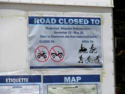 |
... hmm, today is May 19, so it opens tomorrow!
|
|
 |
Petrified sand dunes and 'fins' in the distance.
|
|
|
|
|
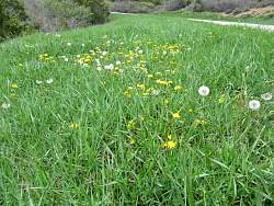 |
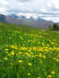
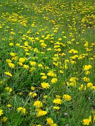
Dandelions at the side of the road
|
|
|
|
|
 |
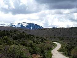
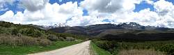
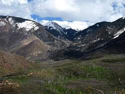
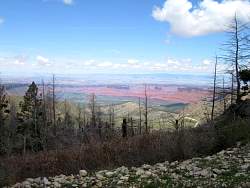
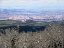
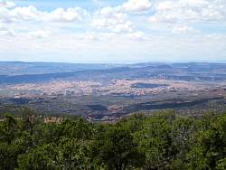
The view from La Sal Loop Road
|
|
|
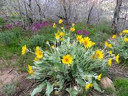 |
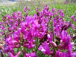
Heading back to Moab, there are more roadside flowers, and very colorful ones!
|
|
|
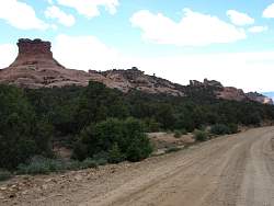 |
I took Sand Pass Road to get back to town.
|
|
 |
Another look at petrified sand dunes and 'fins.'
|
|
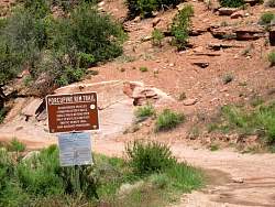 |
I've ridden this trail on my mountain bike. I'll leave it for another trip before I take the motorbike on it.
|
|
 |
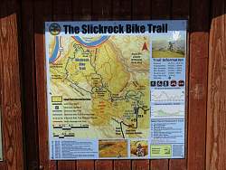
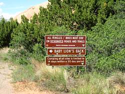
This sign is at the Slickrock Trail trailhead.
|
|
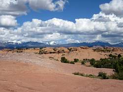 |
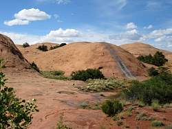
The Slickrock Trail - all petrified sand dunes.
|
|
|
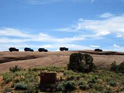 |
Jeeps are plying their skill on a 'fin.'
|
|
|
|
|
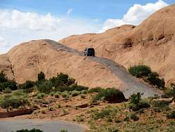 |
A jeep starting up a fin. It looks like there have been lots there before this one!
|
|
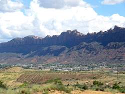 |
Moab with the cliffs behind it.
|
|
|
|