 |
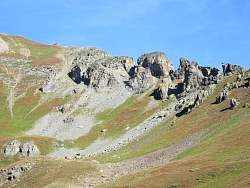
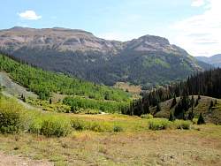
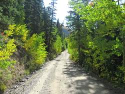
To get to Clear Lake, you head west from Hwy 550 near Silverton along CR 7 that runs alongside the South Fork of Mineral Creek. That mountain ahead must be insignificant because it doesn't have a name on any of my maps.
|
|
 |
Taking the road up to Clear Lake
|
|
 |
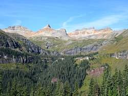
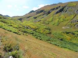
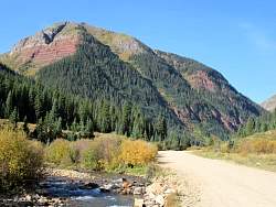
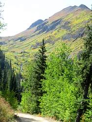
Looking south up the valley carved by the South Fork of the Mineral Creek.
|
|
|
|
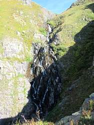 |
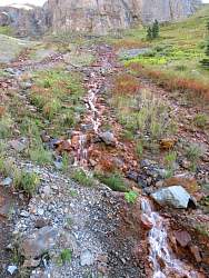
A small waterfall on Clear Creek.
|
|
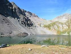 |
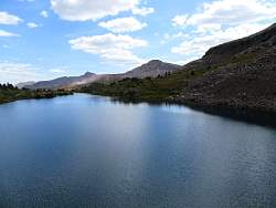
Clear Lake
|
|
|
|
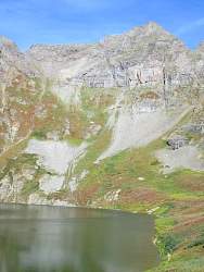 |
Clear Lake
|
|
 |
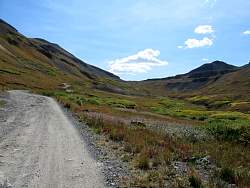
Looking down the Clear Lake road
|
|
|
|
|
 |
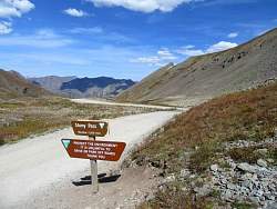
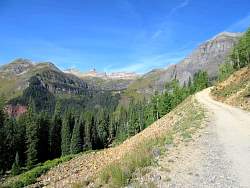
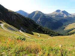
East of Silverton, this is the Stony Pass road
|
|
 |
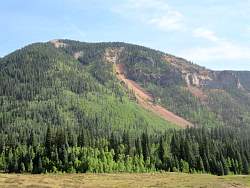
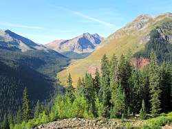
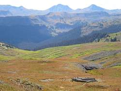
The aptly named Green Mountain lies south of the Stony Pass road
|
|
|
 |
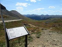
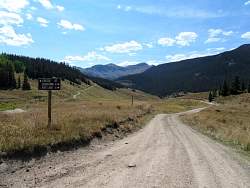
Almost to Stony Pass
|
|
|
|
|
 |
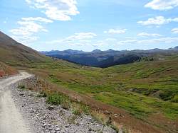
Looking south-east, down the far side of Stony Pass
|
|
 |
The road on the far side of Stony Pass is in very good shape, not very steep and mostly smooth. I can make very good time here on my motorbike.
|
|
|
|
 |
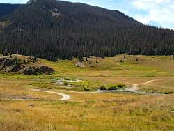
I'm headed to Kite Lake
|
|
 |
The road crosses a stream ahead; I hope it's not very deep!
|
|
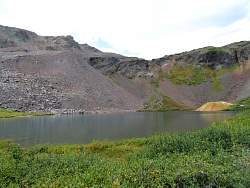 |
Kite Lake
|
|
 |
Kite Lake
|
|
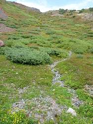 |
When it rains, it looks like a little stream runs down here to the lake.
|
|
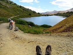 |
Taking a break at Kite Lake
|
|