 |
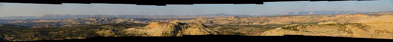
Looking south and west from The Hogsback along Hwy 12 in Utah, towards Glen Canyon and Escalante. The ridge on the horizon from the left edge to past the middle is the 50 Mile Bench that is just west of Hole in the Rock Road.
|
|
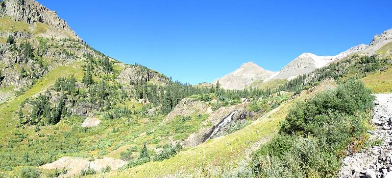 |
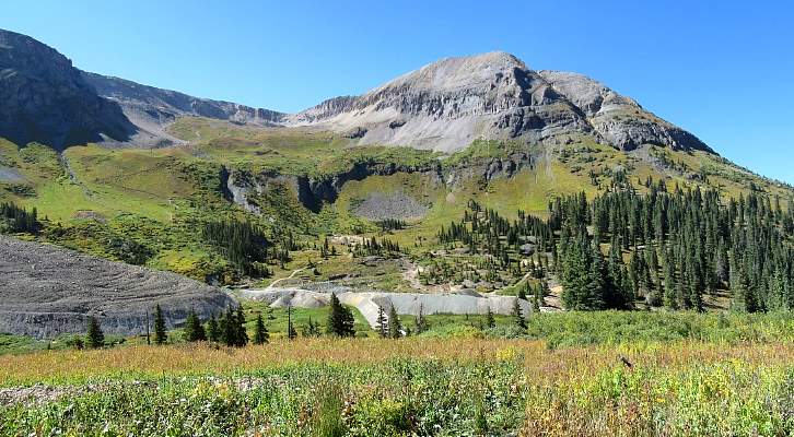
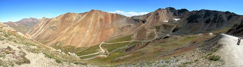
Along the road to Yankee Boy Basin, just west of Ouray, CO
|
|
 |
Looking back down the road to Yankee Boy Basin, just west of Ouray, CO
|
|
 |
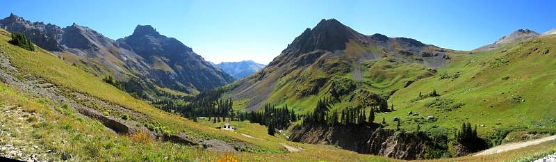
Looking west from Imogene Pass (13,114') and overlooking Telluride.
|
|
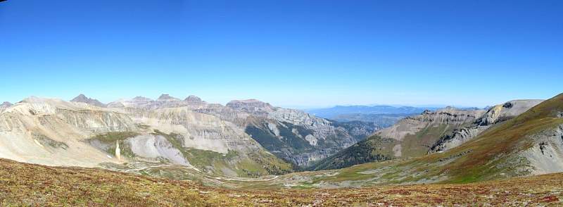 |
Looking north-east from Imogene Pass (13,114') towards Ouray.
|
|
 |
Along the road between Imogen Pass and Camp Bird
|
|
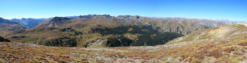 |
Looking south from near Engineer Pass (12,800'), south-east of Ouray.
|
|
 |
Looking south into American Basin, a spur from the south leg of the Alpine Loop, between Ouray and Lake City.
|
|
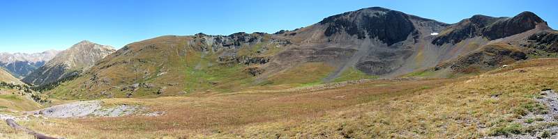 |
Looking south and east from near Cinnamon Pass (12,620') along the Alpine Loop.
|
|
 |
Looking south from the Alpine loop, a little west of Cinnamon Pass.
|
|
 |
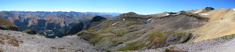
Looking south-east from California Pass (12,960'), south-east of Ouray.
|
|
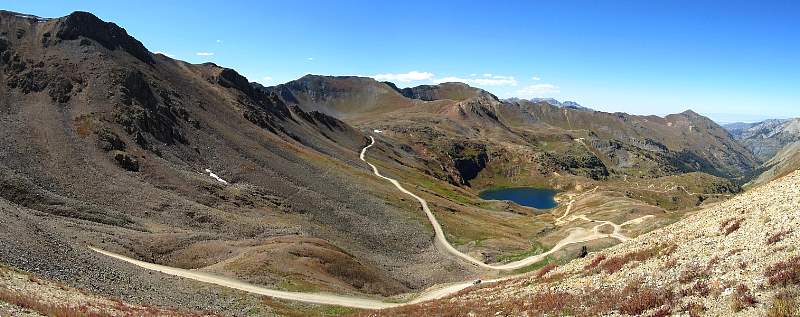 |
Looking north-east at Lake Como from California Pass (12,960'). The road in the center leads up to Hurricane Pass (12,407') and on to Corkscrew Pass.
|
|