Photos of VenturaCountyTrails.Org. Click on an image to see it full size.
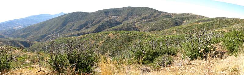
View of the Poodle-Dog Bush Trail (Topatopa - Last Chance Connector Trail) from the back route up Topatopa Bluff
 |
Topo map of our route, in light blue. The Last Chance Trail is shown in yellow. The Poodle-Dog Bush trail is red.
|
|
 |
Google Earth view of our route, in light blue, looking from the south-west. The Last Chance Trail is light green. The Poodle-Dog Bush trail is orange.
|
|
 |
View of Piedra Blanca from the Chief Peak Road on the way to Topatopa Bluff
|
|
 |
In the distance to the east, mist and smoke from the Station Fire
|
|
 |
Heading up the back route to Topatopa Bluff (the easier way)
|
|
|
|
|
 |
The first clear sighting of Hines Peak to the north-east
|
|
 |
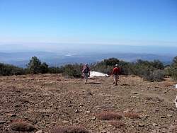
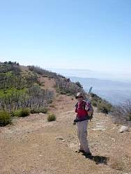
On the Topatopa Bluff ridgeline
|
|
 |
We found a spacecraft landing pod!
|
|
|
 |
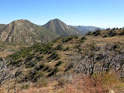
Hines peak and the Topatopa Mountains
|
|
 |
On the Topatopa Bluff ridgeline
|
|
 |
We didn't go down that way...
|
|
 |
...we followed the trail up along the ridgeline
|
|
 |
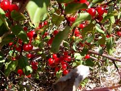
We have ways of dealing with poodle-dog bush!
|
|
 |
Starting down the ridgeline south-east towards Santa Paula Creek Canyon and the Last Chance Trail on the other side.
|
|
 |
This trail came to be known as the "South Ridgeline Firebreak Manzanita Bushwhack Trail" or Manzanita Bushwhack Trail for short.
|
|
|
|
|
|