 |
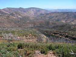
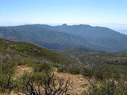
To the south-west we can see Santa Paula Peak (center)
|
|
 |
Hines Peak (left) and the Topatopa Mountains
|
|
|
 |
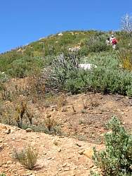
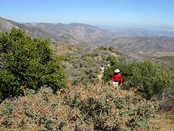
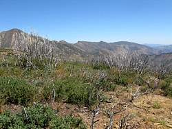
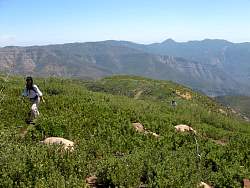
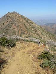
We can see sections of clear trail down below, but not right in front of us
|
|
 |
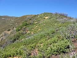
The Manzanita Bushwhack Trail
|
|
|
|
|
|
 |
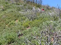
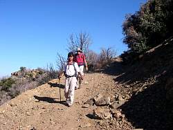
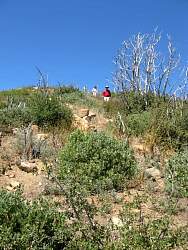
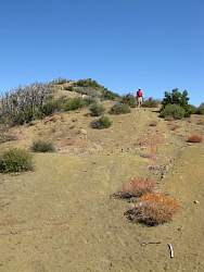
On the way back up
|
|
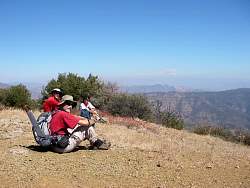 |
Time for a little break
|
|
|
 |
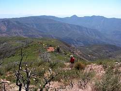
Back to the Topatopa Bluff ridgeline
|
|
|
|
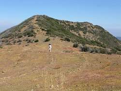 |
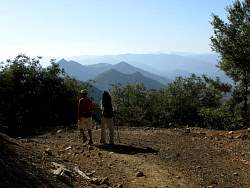
In the background, the ridgeline we had just come back down
|
|
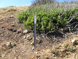 |
The sign points to the Topatopa Bluff Trail that leads to the top, but we went the other way down the back route.
|
|
 |
Heading down the back route
|
|
|
|
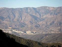 |
Piedra Blanca in the late afternoon from Chief Peak Road
|
|
|
|