 |
Google Earth view of our route (light pink) looking due north up Sisar Canyon. Topatopa trails are red, Nordhoff Ridge Rd is light green, Sisar Canyon Rd is bright green and Horn Canyon Trail is light blue.
|
|
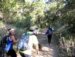 |
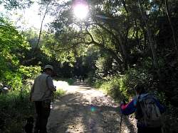
Starting up Sisar Canyon Rd
|
|
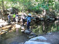 |
The first of two stream crossings
|
|
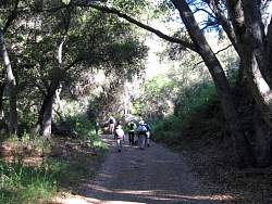 |
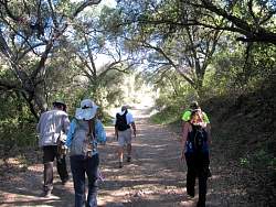
There's lots of shade from the oak trees on the lower section of Sisar Canyon Rd
|
|
|
|
|
|
 |
Pausing for some geocaching
|
|
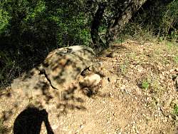 |
A new geocache is born, "Don't run holding Sisars!"
|
|
|
|
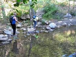 |
Second stream crossing
|
|
|
|
|
 |
This is the only place we saw California poppies growing beside the trail
|
|
|
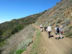 |
Sisar Canyon Rd climbs out of the canyon and above the shade of the oak trees
|
|
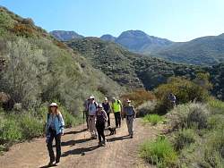 |
We start to see a bit of Topatopa poking up to the east
|
|
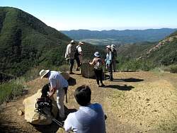 |
From this corner, we can see the Ojai Valley below us...
|
|
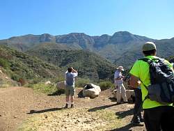 |
... and Topatopa above us
|
|
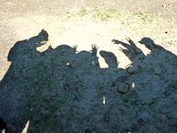 |
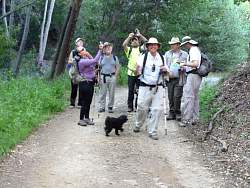
Group photo
|
|
|
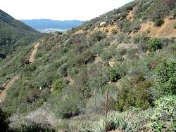 |
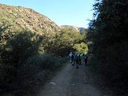
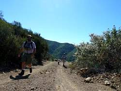
Two views of the road
|
|
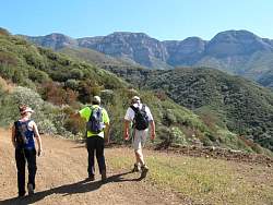 |
We're getting closer to Topatopa
|
|
|


