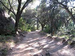
 |
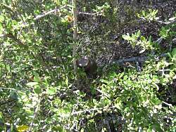
Another new geocache to fill in a gap, "Between the Lines"
|
|
 |
One of the lines the cache is between.
|
|
|
|
|
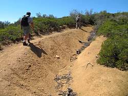 |
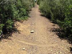
This was by far the worst rut on the trail
|
|
|
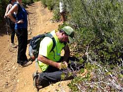 |
Signing a cache log
|
|
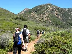 |
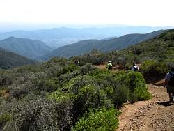
We're almost to the top here. Straight ahead of us is the north end of TopaTopa
|
|
|
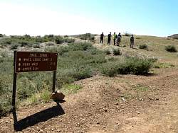 |
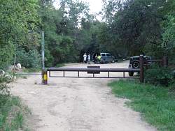
The trailhead on Nordhoff Ridge Road
|
|
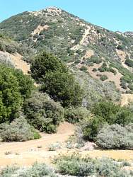 |
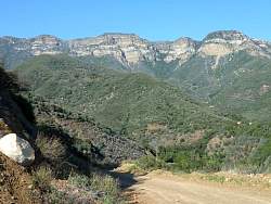
North end of Topatopa from the top of the trail
|
|
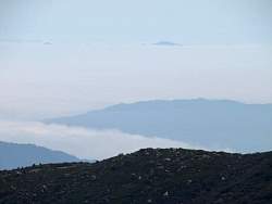 |
On the way back down, we see all the marine layer between the islands.
|
|
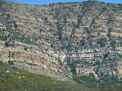 |
A zoom-in on the layers of Topatopa
|
|
 |
The next ridge over is Sulphur Mtn. We're way higher than it is!
|
|
 |
Back at White Ledge Camp, a "pipe" provides drinking water.
|
|
|
|
|
 |
The afternoon sun provides a better view of Topatopa than the morning sun we had on the way up
|
|
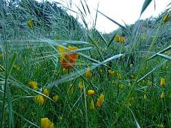 |
California poppies
|
|
|
 |
Sisar Canyon Road is really pretty in this light!
|
|
|
|
 |
12.5 miles later, we're back to the start
|
|
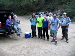 |
Refreshing ourselves after a long hike!
|
|


