 |
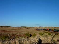
Train in the desert
|
|
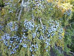 |
Juniper berries...
|
|
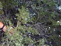 |
When you shake the juniper bush, the berries don't just fall off, they fly off in all directions!
|
|
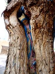 |
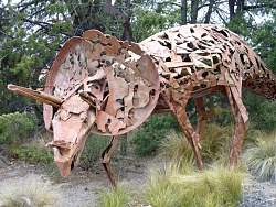
Albuquerque, NM
|
|
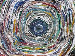 |
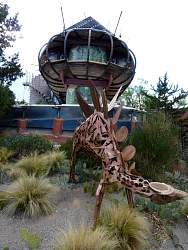
Albuquerque, NM
|
|
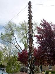 |
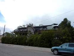
Albuquerque, NM
|
|
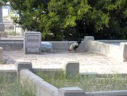 |
Albuquerque, NM
|
|
 |
Albuquerque, NM
|
|
 |
Albuquerque, NM
|
|
 |
Albuquerque, NM
|
|
 |
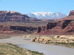
Santa Fe, NM
|
|
|
|
|
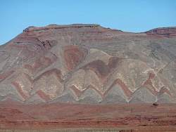 |
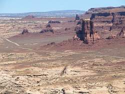
Near Mexican Hat, UT
|
|
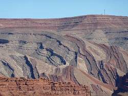 |
Near Mexican Hat, UT
|
|
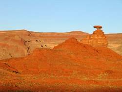 |
Mexican Hat near sunset
|
|
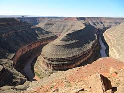 |
Goosenecks State Park, UT
|
|
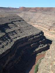 |
Goosenecks State Park, with the outer fringes of Monument Valley visible in the distance
|
|
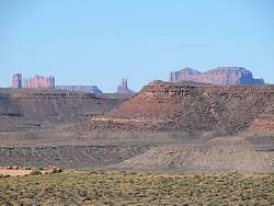 |
The fringes of Monument Valley seen from Goosenecks State Park
|
|
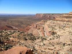 |
Moki Dugway on Rte 261 in Utah
|
|
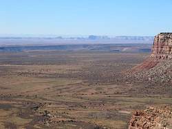 |
Valley of the Gods from the top of the Moki Dugway
|
|
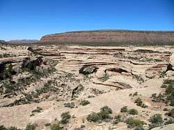 |
Natural Bridges National Monumnet. The hole in this bridge is hard to see here...
|
|
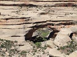 |
...zooming in makes it easier to see.
|
|
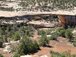 |
Another bridge that's hard to see...
|
|
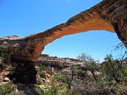 |
...but it's clear from this angle.
|
|
|
 |
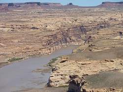
Lake Powell from Rte 95
|
|
 |
The view east from a Lake Powell overlook
|
|
 |
Rte 95 crosses Lake Powell
|
|
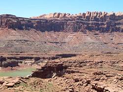 |
Fins above the east side of Lake Powell
|
|