 |
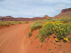
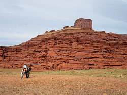
I started my visit to Moab with a ride out Kane Creek Rd to Hurrah Pass and beyond. This is the trailhead for Cliffhanger and Amasa Back trails.
|
|
|
|
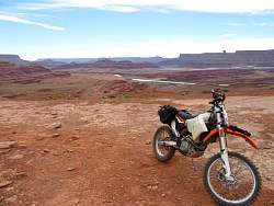 |
Parked at Hurrah Pass, looking west at the Colorado River, potash evaporation ponds, Dead Horse Point State Park and Island in the Sky region of Canyonlands National Park.
|
|
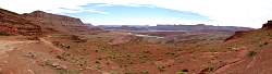 |
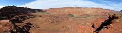
A 180-degree panorama, looking west from Hurrah Pass.
|
|
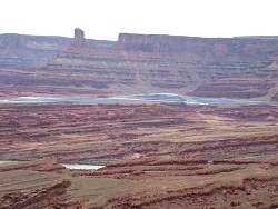 |
Zooming in on the potash evaporation ponds. Apparently they add a bllue dye to speed up the evaporation.
|
|
 |
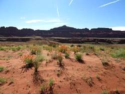
From Hurrah Pass, I can barely see the La Sal Mountains above the nearby rock ridge.
|
|
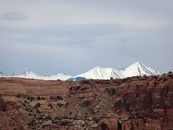 |
Here's a better view of the La Sal Mountains. I'll be up there in a couple of days.
|
|
 |
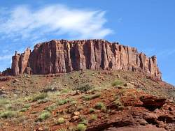
In the distance, petrified sand dunes for slickrock sandstone.
|
|
 |
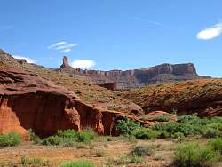
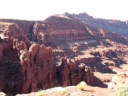
From Hurrah Pass, continuing on towards the Colorado River along Lockhart Basin Road
|
|
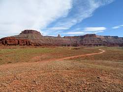 |
Lockhart Basin Road continues for miles (all the way to the Needles District of Canyonlands National Park), but I turned around here.
|
|
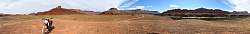 |
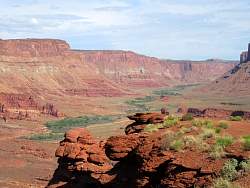
A 360-degree panorama of Lockhart Basin along the Colorado River.
|
|
|
|
|
|
 |
I love the cocoa color of these rocks!
|
|
|
|
|
|
|
|
|
|
|
|
 |
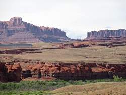
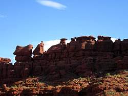
There rocks remind me of posts on fancy furniture!
|
|
 |
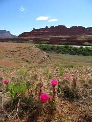
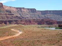
Heading back down towards Moab, a view of Kane Springs Creek. You can see its path from the green trees that grow beside it.
|
|
 |
Looking south and uphill at Kane Springs Creek.
|
|
|
|
|
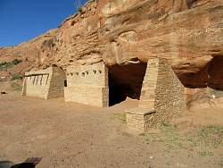 |
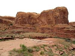
Reproductions of Anasazi dwellings.
|
|