|
|
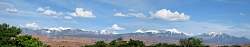 |
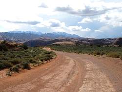
You can see the La Sal Mountains to the east of Moab from almost everywhere. I'll be riding through the passes up there in a couple of days.
|
|
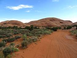 |
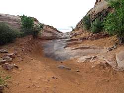
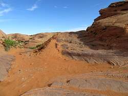
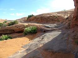
Day 2 in Moab is a planned ride on the Poison Spider Mesa trail. It was all sand and rock. Here's a sandy section.
|
|
 |
It was too rocky for me to ride, so I left my bike (a bit to the left and below the center of the photo) and hiked a bit.
|
|
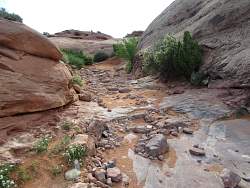 |
You can tell the trail by the black marks left by the jeep tires on the rocks.
|
|
|
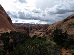 |
There are those La Sal Moutains again, with a ridge of fins between me and them.
|
|
 |
The 'road' continues...
|
|
 |
...Scrapes left on the rocks by jeeps with insufficient clearance.
|
|
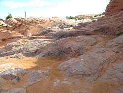 |
There are lots of scrapes here!
|
|
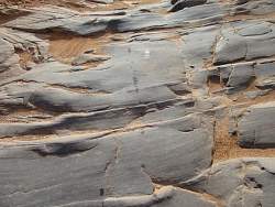 |
This is worse than a scrape - a continuous line of drips of some liquid. The only fluid I can think of that a jeep wouldn't seriously miss after a little while is windshield washer fluid!
|
|
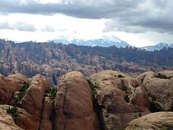 |
A zoomed-in look at the La Sal Mtns and fins.
|
|
|
|
|
|
 |
This is the hill where I decided to park the bike and walk
|
|
 |
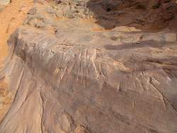
Despite the condition of the road on Poison Spider Mesa, the views were spectacular!
|
|
 |
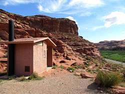
A sign at the parking area for Poison Spider Mesa
|
|
 |
The view shown on the sign about dinosaur tracks
|
|
 |
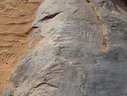
The rock slab with dinosaur tracks. Dinosaurs died off 65 million years ago, so that rock has been there a long time!
|
|
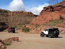 |
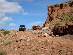
As I was about to leave, a couple of jeeps headed up the Poison Spider Mesa road. They told me they've been there lots of times.
|
|
|
|
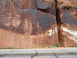 |
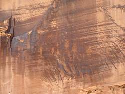
On the way back to Moab, the road passes this cliff with pictographs. They're a bit hard to see here, but if you look closely, you can see some a little below dead center.
|
|
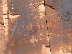 |
Close-up view of the pictographs
|
|
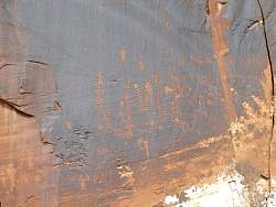 |
Close-up view of the pictographs
|
|
 |
Close-up view of the pictographs
|
|
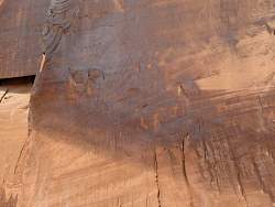 |
Close-up view of the pictographs
|
|
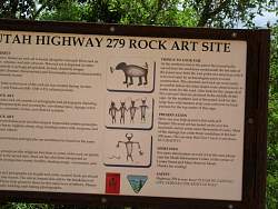 |
I haven't quite got the hang of aiming my camera at signs :-(
|
|
|
|