 |
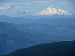
A closer look at Mt. Adams.
|
|
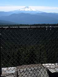 |
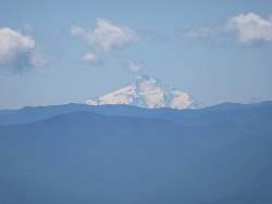
Mt. Hood, 22 miles to the south-east.
|
|
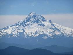 |
A closer look at Mt. Hood.
|
|
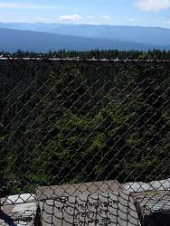 |
Mt. Jefferson, 62 miles to the south-south-east.
|
|
 |
A closer look at Mt. Jefferson.
|
|
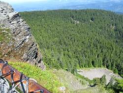 |
Looking down from Sherrard Point, it's nearly straight down for 700 feet!
|
|
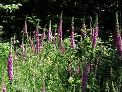 |
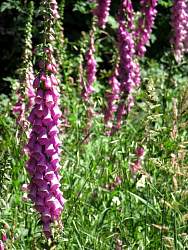
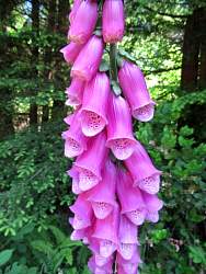
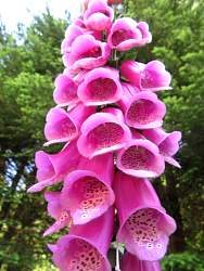
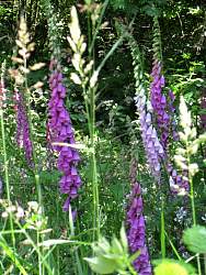
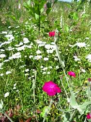
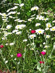
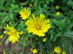
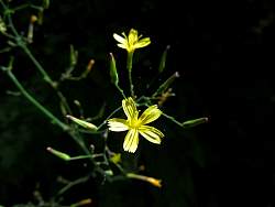
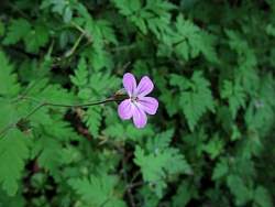
The next few pictures of flowers were taken along Larch Mtn Road, or side roads thereof.
|
|
|
|
|
|
|
|
|
|
|
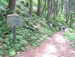 |
Time to hike to a waterfall! My target is Triple Falls, and then I'll see the two Horsetail Falls.
|
|
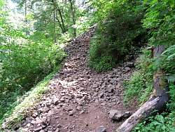 |
The trail to Triple Falls is very rugged in spots!
|
|
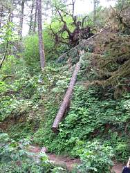 |
There have been some recent tree-falls as well as water-falls.
|
|
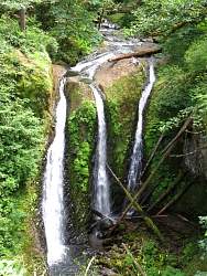 |
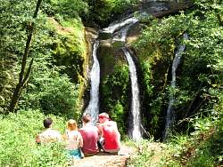
Triple Falls; the people at the top as well as the logs at the bottom give you an idea of its height.
|
|
|
|
|
|
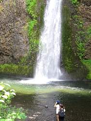 |
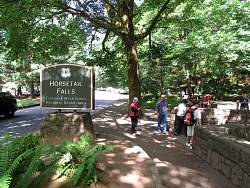
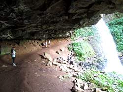
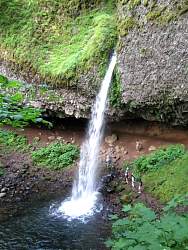
Lower Horsetail Falls
|
|
|
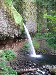 |
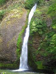
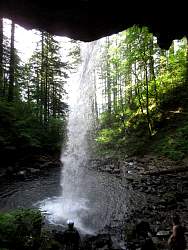
Upper Horsetail Falls
|
|
|
|
|
|
|
|
|
|
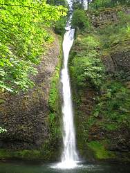 |
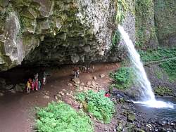
Lower Horsetail Falls again
|
|
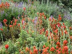 |
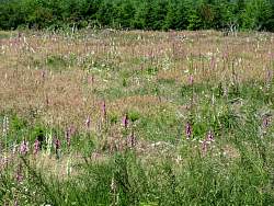
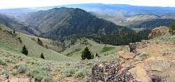
The next bunch of photos were taken on old logging roads near Plain, Washington (look it up, it's east of Seattle)
|
|
|
|
|
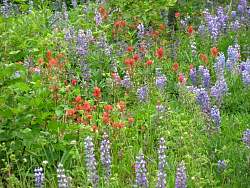 |
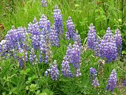
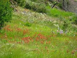
The flowers are mostly lupin and indian paintbrush, but there are a few others here and there.
|
|
|