|
|
|
|
|
|
|
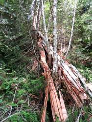 |
This cedar tree had fallen recently enough that there was still a very strong cedar wood fragrance in the air.
|
|
 |
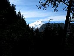
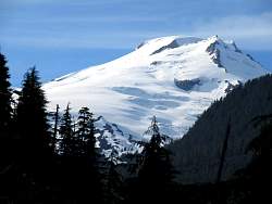
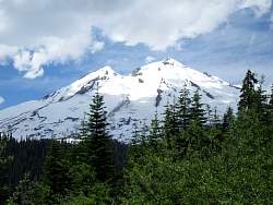
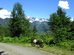
One of the few views of Mt Baker from the roads around its flank, and probably the best view.
|
|
|
 |
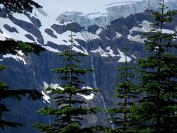
There are lots of waterfalls below the glacier on the north-east side
|
|
|
|
 |
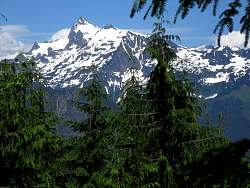
Mt Shuksan in the background
|
|
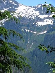 |
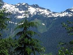
Rivers running down Mt Shuksan
|
|
|
|
|
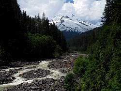 |
Boulder Creek runs down from Mt Baker. This is the stream I saw from Anders Butte that I thought might be a road.
|
|
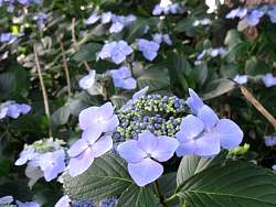 |
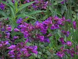
Flowers in a garden near Vancouver, B.C.
|
|
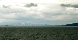 |
Vancouver B.C. from the ferry that goes from Horseshoe Bay to Nanaimo on Vancouver Island.
|
|
 |
A bald eagle in a tree near Comox on Vancouver Island
|
|
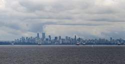 |
Vancouver B.C. from the ferry that goes from Horseshoe Bay to Nanaimo on Vancouver Island.
|
|
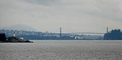 |
On the left, the lighthouse at Point Atkinson with the Lions Gate Bridge in the background.
|
|
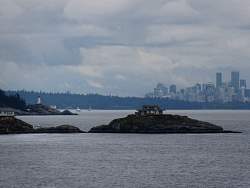 |
There are a couple of houses on these little islands near Point Atkinson
|
|
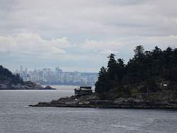 |
I wonder how they get that big propane tank filled on this island!
|
|
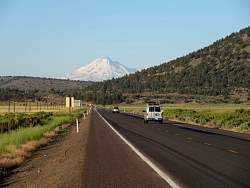 |
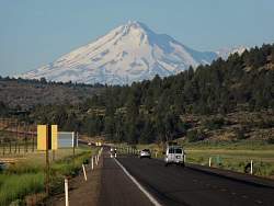
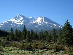
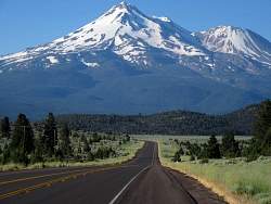
Back in northern California, approaching Mt. Shasta from the north-east along Hwy 97
|
|
|
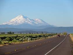 |
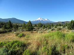
Still along Hwy 97
|
|
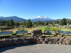 |
The geology and history of Mt Shasta is explained at this viewpoint.
|
|
|
|
|
 |
I hope the cows in the meadows next to the road appreciate the view!
|
|
|
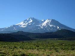 |
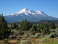
Okay, this is the last picture of Mt Shasta! Nothing can compare to this along the I-5 in the central valley on the way home :-(
|
|
|
|