|
|
|
|
|
|
|
|
|
|
|
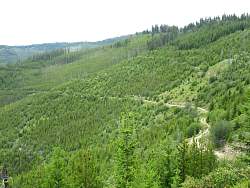 |
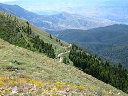
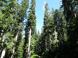
An old logging road
|
|
 |
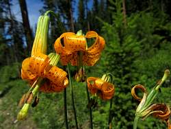
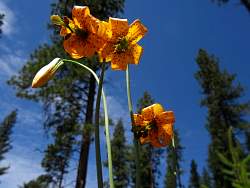
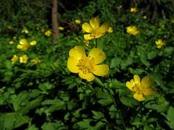
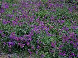
This is where I stopped for lunch. There were a few flies buzzing around so I had to hurry.
|
|
|
|
|
|
|
|
|
|
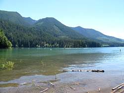 |
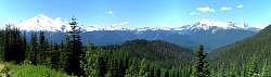
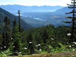
Moving on, this is Baker Lake, sandwiched between Mt. Baker to the west and Anderson Butte to the east.
|
|
 |
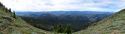
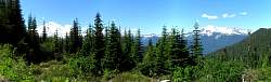
On the way up to Anderson Butte
|
|
 |
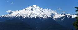
From the Anderson Butte road, my first real view of Mt Baker, on the left. To the right is Mt. Shuksan.
|
|
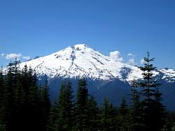 |
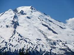
From a little higher, we get a better view of Mt. Baker.
|
|
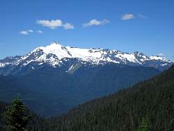 |
Mt. Shuksan
|
|
|
|
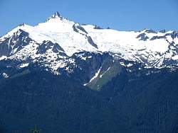 |
Zooming in on Mt Shuksan, you can see the glaciers breaking up.
|
|
 |
It looks like water runs down Mt Baker, making an ice flow.
|
|
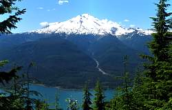 |
Mt. Baker behind Baker Lake
|
|
|
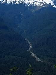 |
This stream runs down Mt. Baker. From the distance, I couldn't tell if this was a river or a road.
|
|
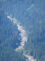 |
Zooming in, I was pretty sure it was a river. It's cleared out a lot of nearby trees!
|
|
 |
Lake Shannon is south of Baker Lake
|
|
|
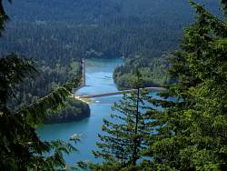 |
Baker Lake is held up by dams! Who knew?
|
|
 |
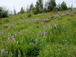
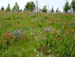
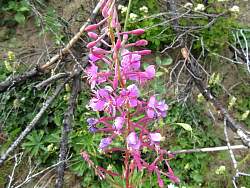
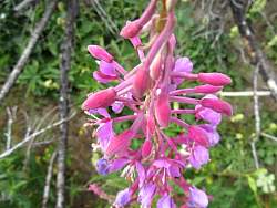
The next bunch of pictures were taken of the flank of Mt. Baker.
|
|
|
|
|
|
|